
1973 · Community & course
1973: One Plat for the Whole Community
Four large sheets drawn October 15 and recorded October 31, 1973 show most of the lots, streets and fairways of Brierwood Estates. The nearest thing to a map of the whole community.
Timeline
Oct. 9, 1973
Agreement with Waccamaw Bank & Trust Co. recorded (Book 300, Page 176; index entry only).
Oct. 15, 1973
Robert B. McHenry swears that the plat "Subdivision for Brierwood-Estates" is correct; the plat is dated the same day.
Oct. 31, 1973, 10:05 a.m.
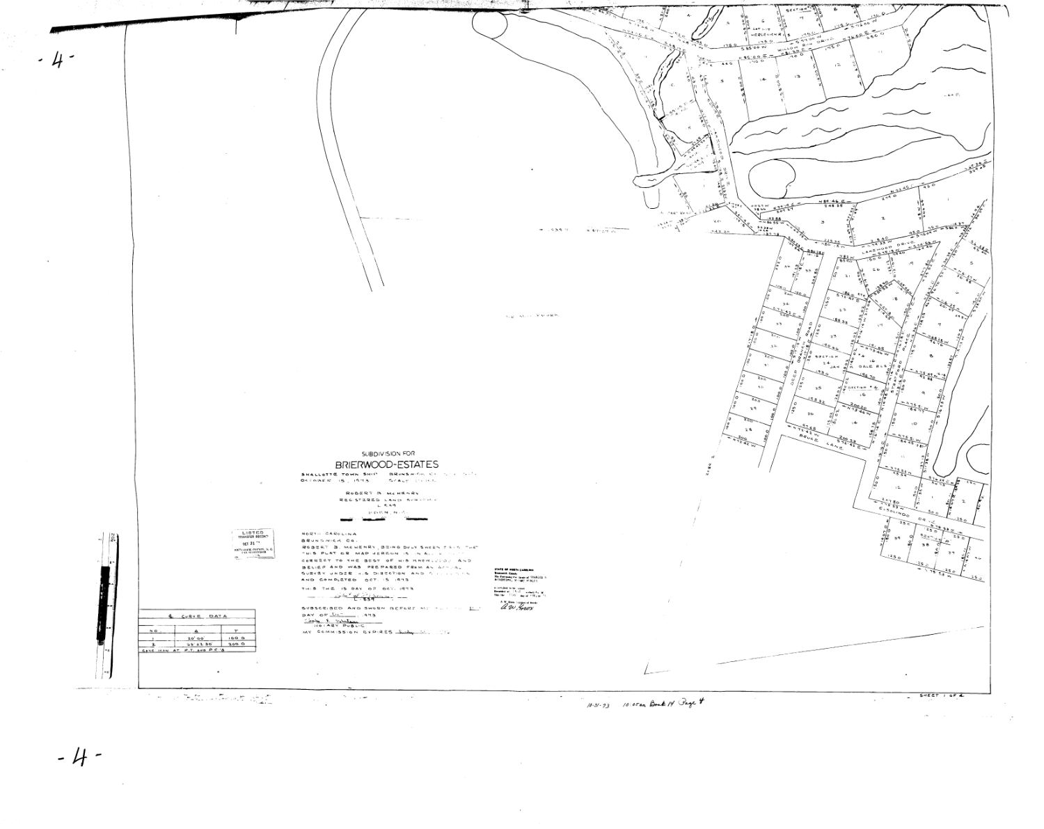
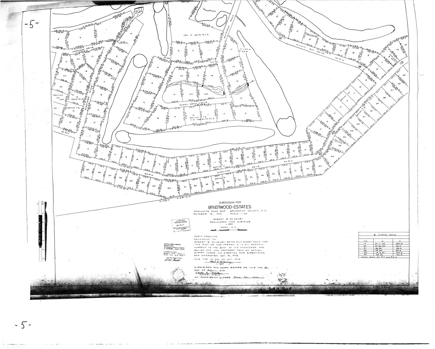
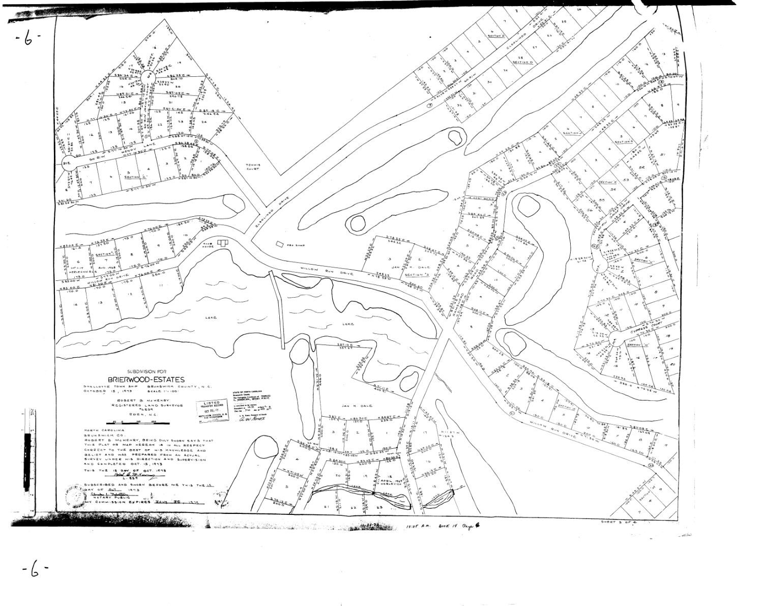
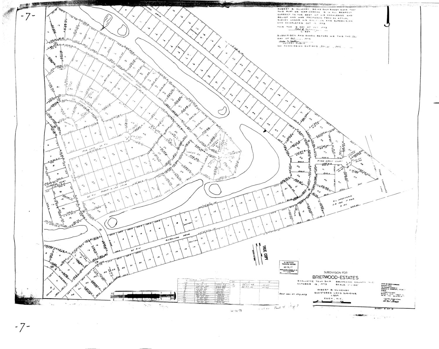
The plat is recorded in Map Book 14, Pages 4 through 7, each with an "A" companion page.[Sheet 1 · Sheet 2 · Sheet 3 · Sheet 4]
About 1975
The second nine holes are finished and become the front nine (community history).
Document links open for registered members who are signed in. The plat images on this page are public records shown for everyone.
On October 15, 1973 the surveyor Robert B. McHenry of Eden, N.C. swore that a plat titled "Subdivision for Brierwood-Estates" was correct. The county recorded it on October 31, 1973 at 10:05 a.m. in Map Book 14, Pages 4 through 7. It is four sheets, each with an "A" companion page, at 1 inch to 100 feet, covering Shallotte Township.
The community's history describes "a series of 9 maps" recorded on October 15, 1973. The county's records give a slightly different picture. October 15 is the date the plat was drawn and sworn to; October 31 is the date it was recorded; and the plat is four numbered sheets, eight pages counting the A companions. However it is counted, it is the document on which the lots, streets and fairways of most of the community first appear together.
Sheet 1 of 4 (page 4) carries the title block, the surveyor's sworn statement and the curve data. Its streets are in the right-hand part of the sheet: Lakewood Drive, Deep Branch Road, Bruce Lane and Elsolindo Drive, laid out beside wide, empty spaces that are the golf holes and other land.
Sheet 2 (page 5) shows the Queens Grant Circle area that the 1969 map recorded as Section 2, noted on this sheet with the earlier surveyor's name, together with Stratford Place, Lakewood Drive, Elsolindo Drive, Willow Run Drive and the fairways that wrap around them.
Sheet 3 (page 6) is where the clubhouse, a pro shop and a tennis court appear beside the lake, with the cul-de-sac lots of Section C to the northwest and the lots along Elsolindo Drive and Willow Run Drive below. The Town of Shallotte later closed part of Elsolindo Drive, "otherwise known as Country Club Drive," citing this page (Map Book 14, Page 6A).
Sheet 4 (page 7) covers the eastern part of the community: Elsolindo Drive, Kings Grant Court, Cypress Court and a long run of lots along the fairways. A stamp on the sheet reads "true copy."
These sheets are why county records still cite "PL 14/4-7A" for lots across Sections C through P and 1 through 4. Later maps revise individual sections, such as Sections J, K, L and N in 1985, but they do so by pointing back to this plat. The community's front nine and back nine were also settled in these years; see Nine Maps and a Second Nine.